The Luppitt Tithemap

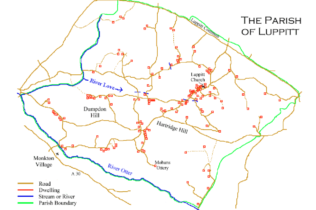
Move your cursor around the map below. When you are over a dwelling, a hand will appear and text will appear at the bottom of your browser to identify the relevant location. Left click to open the full size image in a new window. Close the window to return to this one. To save the picture, right click, and select 'save picture as''.


Map of the Parish of Luppitt

Barnfield Farm Barn Farm Beacon & Red Doors Church, Vicarage, & Luppitt Inn Calhayes & Mountstephens Hillend Higher Shelvin Lower Shelvin Blackenfields and the Mill Yard Woodhayes Shaugh Ford Whitehall & Whitcombe Smithenhayes Halsdon Lower Wick Roleshays, Palmerhays, & Wick Greenway Pulshayes Moorlands Lake, Scotshayes Newhouse Winsor and Lamberts Stoneacre Combeshead Overday Gulleyhayes Gullay Lane & Ararat Turfhouse Mathayes Odel Farms Pitt, Lowmans, & Beacon Goulds & Snooks Honeywells, Cott, & Marlpits Dolish, Sparrows Cross, & Colehill Shelves & Antelope Shelf Farm Sharcombe Odel Cottage